Plan Better Coastal Day Hikes
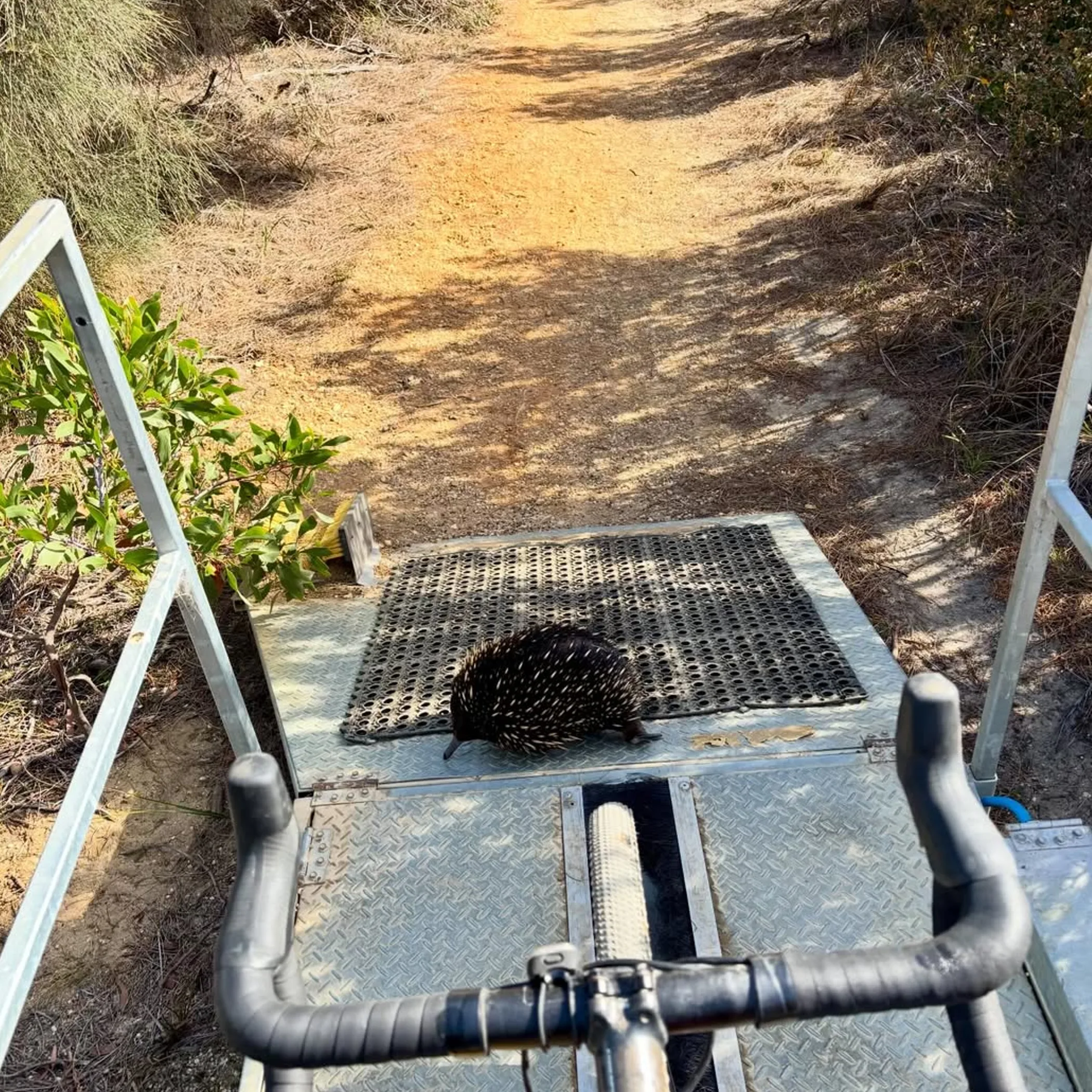
There is no better way to put together a coastal day hike than by taking the Surf Coast Walk in sections as opposed to a single protracted undertaking. The trail makes its way from Torquay through Jan Juc, Bells Beach, Point Addis, Anglesea, Aireys Inlet and on to Fairhaven over a variety of clifftop and gravel tracks, shared-use trails and beaches.
“Easy coastal walk” is a term I have come to find rather elastic; it may be a stroll next to the car park or a windy affair that has your hat trying to get away from you. My name is Thomas Marlowe and in my experience most are well served to pick a section, make time for the lookouts and beach, and have your transport in order before you go.
While some will tell you the point-to-point route is 41 km, the full trail is more often put at 44 kilometres. It runs Wadawurrung Country from somewhere near Torquay to Fairhaven so one should be respectful of the land: stick to what is marked and do not disturb the native flora and fauna or any cultural sites.
Selecting the Right Section
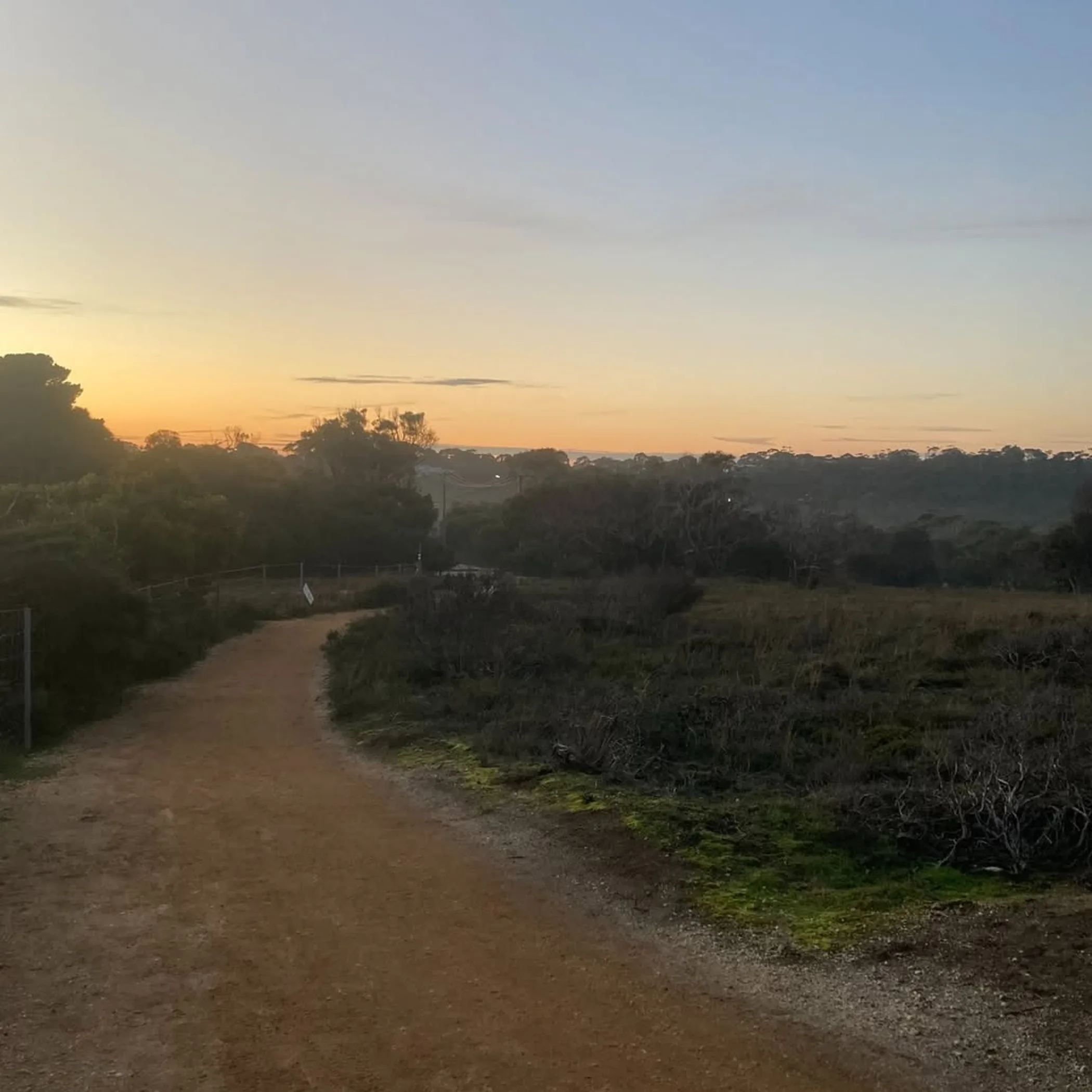
You will find varied experiences along the Surf Coast Walk. Torquay is straightforward with its cafés and easy access; head to the Anglesea or Point Addis side and the terrain is less forgiving and of a wilder disposition when the weather sours, much like the Great Ocean Road coastal trek.
The following table is intended as an aid to your planning, not something to be taken with religious fervour. Distances are only approximate and will depend on the path you take and where you put in.
| Section | Approximate distance | Difficulty | What you will see | Notes |
|---|---|---|---|---|
| Torquay to Jan Juc | 5–7 km (one way) | Easy/moderate | Point Danger, Bird Rock and the coast | Toilets and food are close at hand |
| Jan Juc to Bells Beach | 6–8 km (one way) | Moderate | Lookouts, surf breaks, cliffs | Little shade and some wind |
| Point Addis to Anglesea | 8–10 km (one way) | Moderate | Southern Ocean, heathland and wildlife | Put in place a return or car shuffle |
| Anglesea to Aireys Inlet | 10–12 km (one way) | Moderate to hard | Split Point Lighthouse, beaches and cliffs | Tides and beach conditions can add to the time |
Torquay to Jan Juc
For a first time out the Torquay part of the walk is the simplest. From Torquay you can put in a few kilometres to Jan Juc via Point Danger and Bird Rock. It is a sound option for families or those short on time who would like the practicalities of a café and toilet nearby. One is apt to cross paths with dogs, cyclists and runners on the paved and gravel of these shared paths. Make sure to keep left and yield as you should, and resist the urge to block the way for a selfie.
Point Danger makes for a good stop when the light is low over the water, as does Bird Rock, but do not be lulled into a false sense of security by a calm Torquay forecast; the headlands are exposed.
Jan Juc to Bells Beach
Leaving the main settlements behind you will give you a better feel for the trail with its open grassland and clifftop vantage points. A half-day here is fine if you want the scenery without the commitment of the longer southern stretches. You can make the trip back from Bells Beach if you are fit enough but factor in the sun and wind and you will find the return takes longer than you think.
Do not be caught out by the absence of dependable shade. Even in the cooler months put on some protection and carry water; the ocean is no substitute for a refill regardless of how big it looks and the wind will mask how much you have sweated.
Point Addis to Anglesea
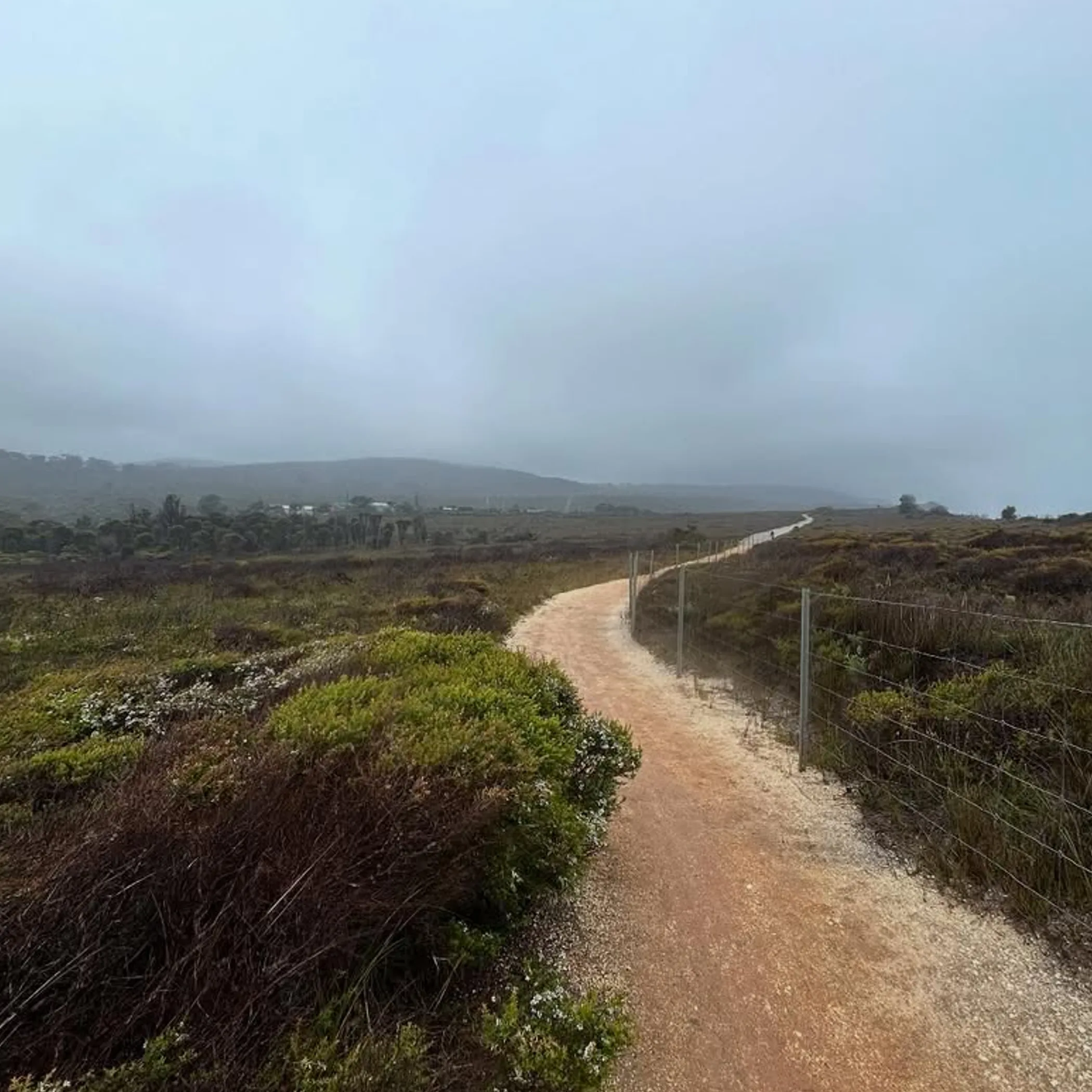
If it is the heathland and views of the Southern Ocean you are after, then this is where you should be. The track is more in keeping with nature than the built-up Torquay end and you will encounter plenty of native species. Make Point Addis your starting place and head in the direction of Anglesea. The way is lined with clifftop vantage points and some gravel track, and while a regular walker will have no trouble with the terrain, it can be wearing if the wind is up or the ground is wet from rain. Plan on half a day or so, with time to spare for an uneven stretch of ground, to put down the camera or watch some wildlife.
It is at Point Addis that one should be more circumspect in one’s preparations. There are not as many facilities here, nor are transport links as handy as in the Torquay area, and mobile reception is not to be relied upon. The neatest way to handle it is a car shuffle: put one vehicle at the start and another at the end, or put in a call to a companion for a lift.
Anglesea To Aireys Inlet
For a point-to-point journey with some character, there is no better day-hike than from Anglesea to Aireys Inlet; it has the beaches and coastal cliffs to make for a varied outing. With the right conditions and route it is a full-day affair, not something to be done casually in the morning.
You will find all the services you need to begin in Anglesea, from public toilets to cafés and shops. As you make your way to Fairhaven and Aireys Inlet the coast opens up. A stop at the Split Point Lighthouse makes for a good landmark to end on before you put the return in order.
Do not underestimate beach walking. Wind, tides and soft sand are no small matter; they can turn a section into hard going. See what the tide is doing before you leave, particularly if you are not sticking to the higher ground.
Match The Walk To Your Day
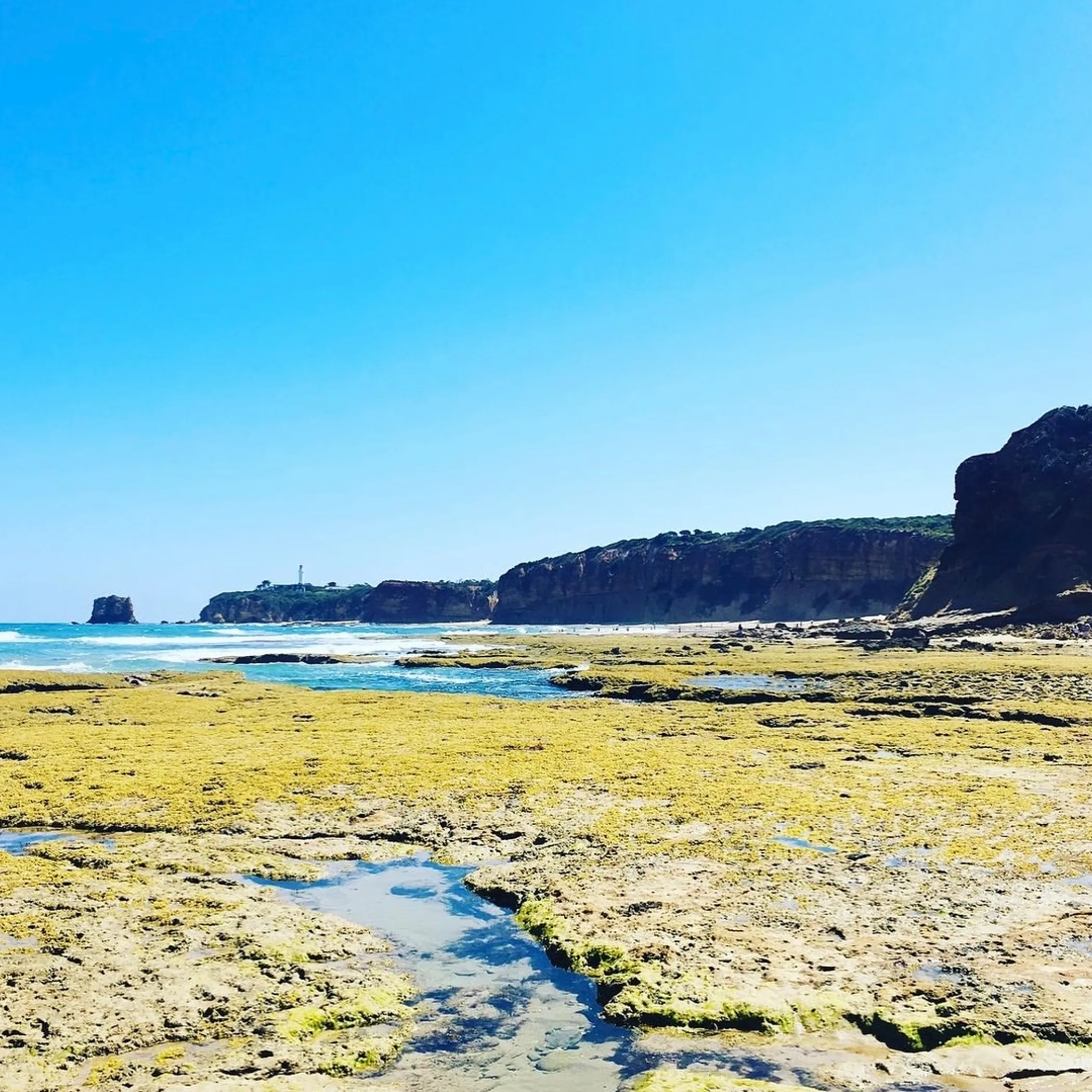
One’s choice of section will be dictated by fitness, time, exposure and how one is getting around. If you have a single day, pick a direction and see to the return, do not go about amassing landmarks as though they were fridge magnets.
If You Have One Day
The Torquay to Jan Juc route is where you will find the surest access to food, roads and the like, and the logistics are simpler. For something more natural with better coastal views, go from Point Addis to Anglesea. Then there is Anglesea to Aireys Inlet, provided you have made the necessary transport arrangements and are amenable to a long day.
A novice to the coast should not make of the Surf Coast Walk a beginner’s excursion in its entirety. It is not mountaineering but the distance, lack of shade and the odd gap in transport will tell. Take a shorter piece and get a feel for your pace once the first hour is over.
Expectation Versus Reality
What you may expect is a level path and unbroken views. In fact the route is a mix of built paths, stairs, grass, headlands and beach. Some of it is easy enough, other parts require your concentration, in bad weather especially.
You might think public transport will simplify matters. V/Line and the local buses will only get you part of the way; the route is not well served from one end to the other. Look at the V/Line timetable and local options, but for a point-to-point walk a car shuffle is often the answer.
Use Maps And Transport Wisely
With all the tracks and access points on the trail a map of the Surf Coast Walk is a must. Get the latest version, be it a PDF or otherwise, from the official tourism or public authority and make sure it accords with the state of the track. It will show you where the water refill stations, car parks and exits are. Do not make do with a screenshot from months back; after a storm or bushfire risk things change. For the Point Addis Marine National Park and the Great Otway National Park in the vicinity, consult Parks Victoria.
Organise The Return Journey
There is nothing like a point-to-point to produce the error of arriving at the finish with no sensible means of getting back to the car. Make sure of a taxi, rideshare or bus connection ahead of time, do not count on a late afternoon service just because the map puts town nearby.
Parking is apt to be in demand at weekends and when the surf is good. Be there early and park properly. And keep some charge on the phone for navigation at the end of the day; a portable charger is not as photogenic as the lighthouse but it will serve you better.
Prepare For Coastal Conditions
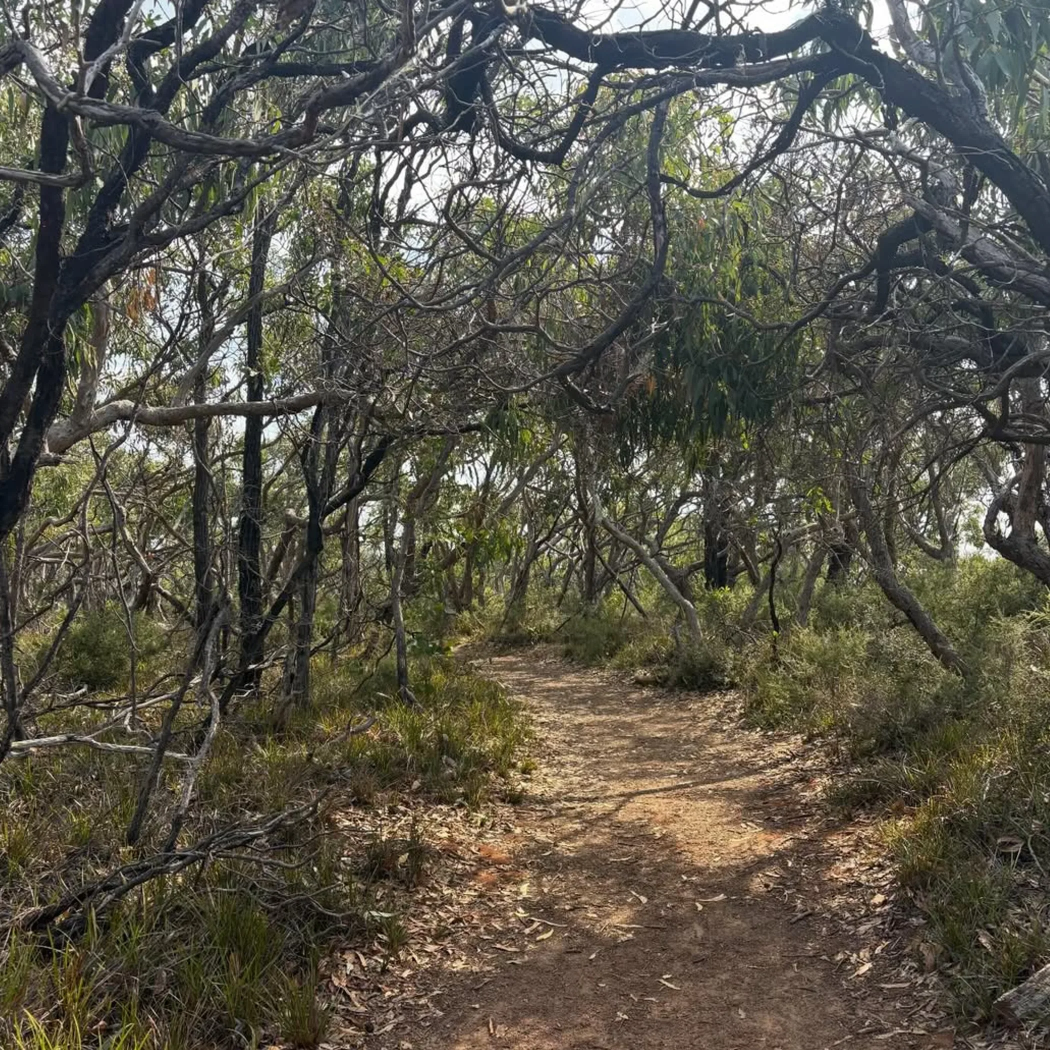
The coast is where the weather makes a quick change. In summer one has to contend with heat, glare and roads that are busy; in cooler months the tracks are quieter but the winds pick up, the ground is wet and there is less of the day to see it. Spring will have its flowering heath and be fine for a walk, yet you should still have some respect for the wind and any showers that come along.
Access is not always assured, what with erosion, storm damage or a bushfire closure. Make a point of checking for any alerts prior to setting off, on hot or windy days in particular. Should things turn for the worse, an early retreat is wise. You want to put in for a good meal at the end of your walk, not have an unseemly row with the Southern Ocean.
What To Take On The Track
- Water to cover the whole section, and more if it is warm or windy
- A hat, sunglasses and sunscreen for the sun
- Footwear that can stand up to gravel, stairs and dampness
- Snacks or food since one cannot count on finding a café or shop at regular intervals
- Phone and portable battery, an offline map
- Something warm and a light rain jacket, forecast or no
- Any personal medication and first aid basics
There is a disparity in facilities from one part of the walk to another. You will find more services in Torquay, Jan Juc, Anglesea, Aireys Inlet and Fairhaven than out on the open country near Point Addis. Do not assume there will be a toilet or place to top up your water when you think there should be; fill your bottles in town and consider what is on offer as a convenience rather than a given.
Safely And Respectfully
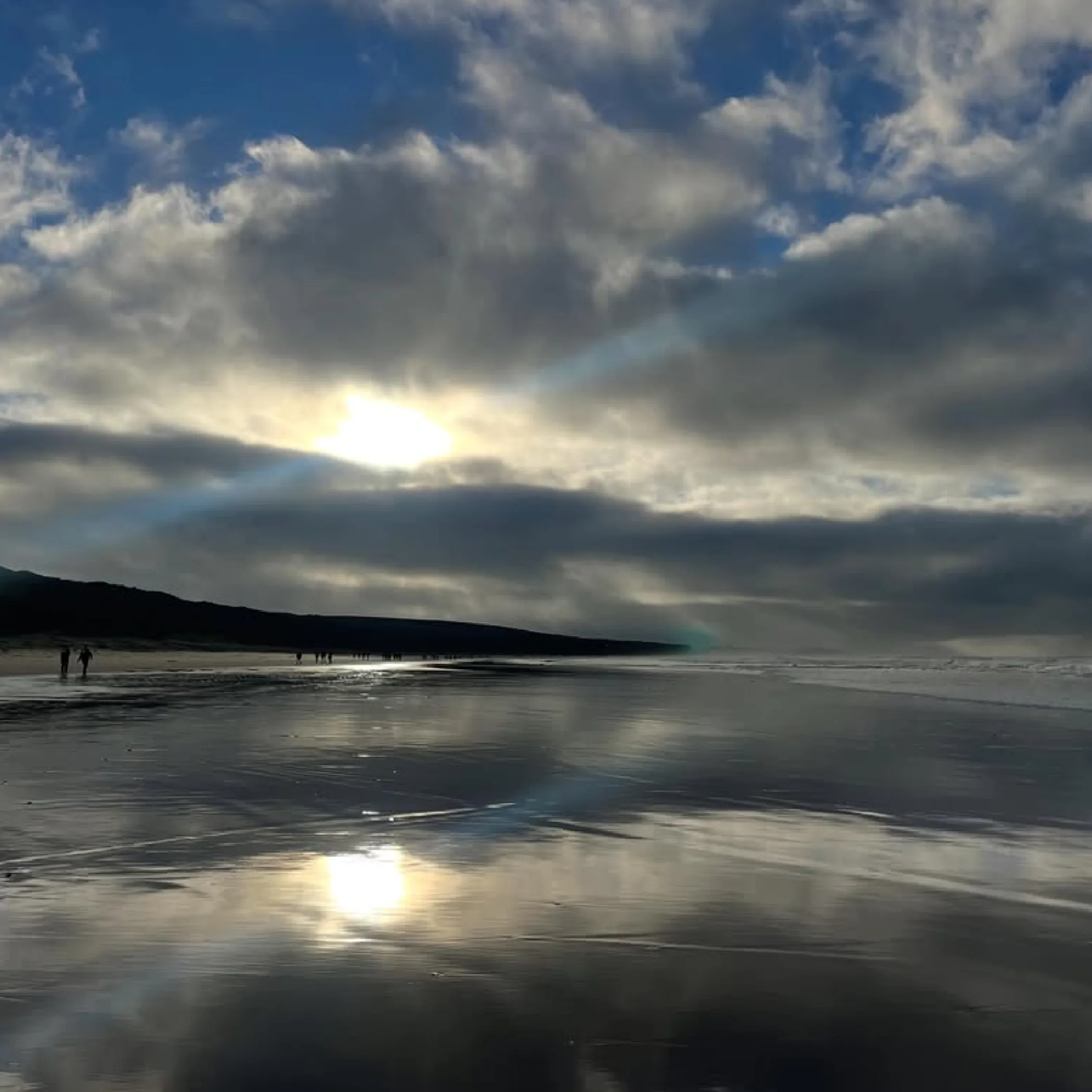
Heed the signs and do not put children in close proximity to unstable ground, and for heaven’s sake do not go over a barrier to get a photo. The cliffs here have a way of crumbling and the sea below is indifferent to the tale you might tell later. Where there is beach walking or a low passage, tides must be watched. A larger than anticipated wave can take away your easy way back. When in any doubt, opt for the higher marked route or put the question to someone local.
Dogs are to be kept in check where allowed, make room for cyclists and other walkers and take your rubbish with you. This is Wadawurrung Country and home to important coastal habitat; part of respecting the place is minding the wildlife and the native vegetation and allowing others their quiet time on the track.
Answers To Some Surf Coast Walk Questions
Best day hikes?
Torquay to Jan Juc is convenient. If you prefer the heathland and something more sedate, go from Point Addis to Anglesea. A trip from Anglesea to Aireys Inlet is a good way to put in some miles and finish by the Split Point Lighthouse. It comes down to what the weather and your transport will allow.
Time required?
At 44 km (some put it at 41) it is a coastal trail most will not do in a day. A day hike can be a few hours or all day, but factor in time for the wind, to rest and take in a view or two, and any delay with transport.
Start and finish?
Most will walk from Torquay to Fairhaven via Bells Beach, Point Addis, Jan Juc, Anglesea and Aireys Inlet. But access points can differ so verify them before you go.
For the uninitiated?
Shorter walks in the Torquay and Jan Juc area are fine for a beginner. The full route is probably not the ideal first long coastal hike given the exposure, tides and uneven footing. Start with a return walk and work up to it.
Tides?
If your section takes you onto the beach or a low coastal route, yes. Tides can impact your options and the waves even if the track is above the water. Err on the side of caution and use the higher track, and do not head into an isolated part of the beach late in the day.
To Make The Coast Your Own
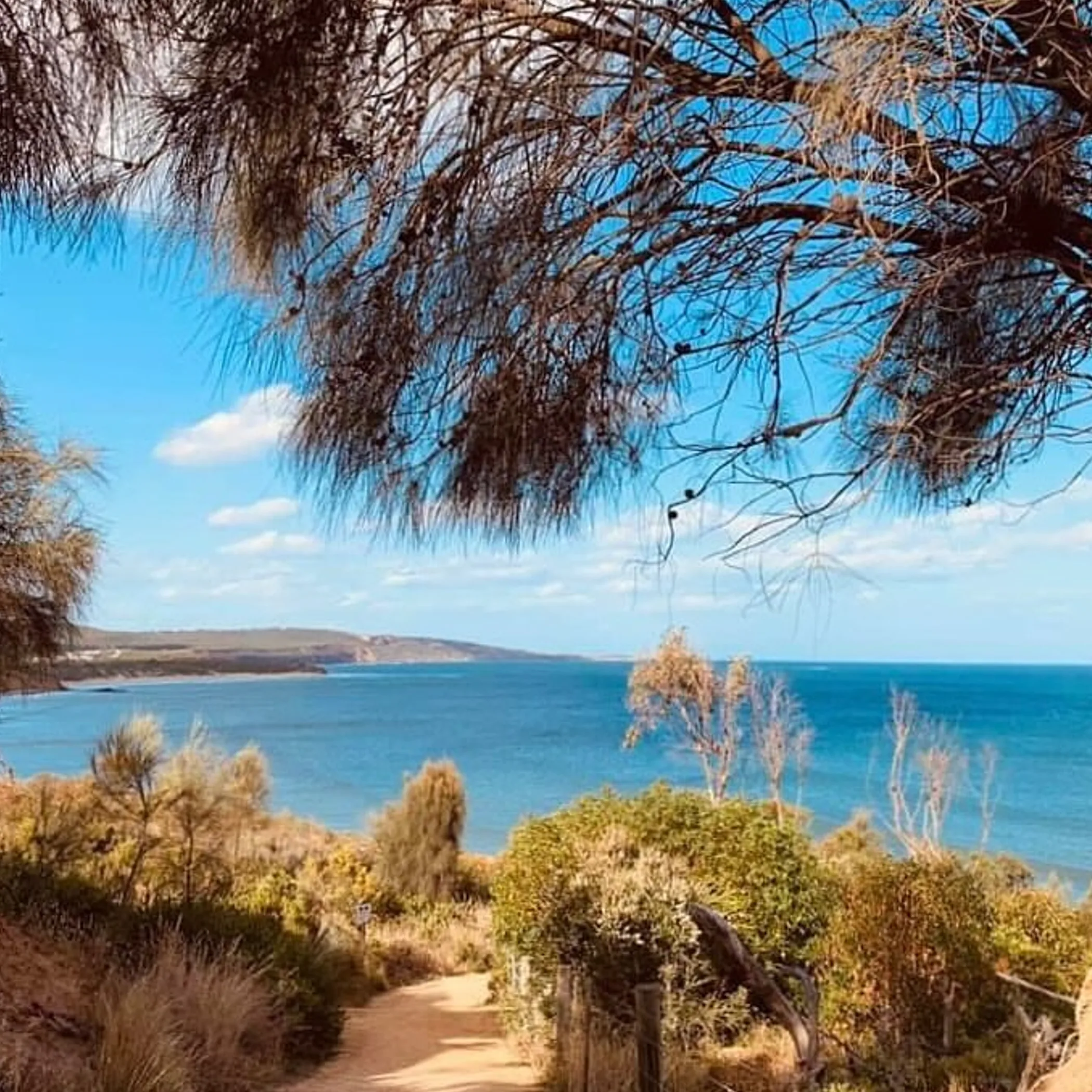
A measured approach is well rewarded on the Surf Coast Walk. Organise your return, study the map and do not be in such a hurry to race the clock that you miss the lookouts.
On a first outing I would recommend Torquay to Jan Juc for ease of access or Point Addis to Anglesea for the open coast. It is not some polished promenade and one could say that is what gives it value. There is enough of the elements, wildlife and minor logistical bother about this practical walk through Wadawurrung Country to make it worth remembering.